-

Software Master For
2D/3D Architecturecomplete 2D/3D Architecture and Civil Engineering Software Solutions -

-

-
About Us
Since its incorporation, Sigma Sales Solution has become a partner of choice for world-class software solutions in automation technology. We have a team of professionals who provide innovative Geotechnical Analysis Software, Structural Engineering Software solutions for Geotechnical, Bridges, Tunnel, Water & Sewer Networks, FEA Analysis, Highways, GIS, Project Management, and many more as per clients' requirements. Our specialty lies in providing software solutions to various clients from different fields such as PWDs, PSUs, Engineering Colleges, Engineering Consultants, and Contractors. We have hired the industry's best engineers, trainers, and other professionals, whose knowledge and expertise in designing and developing solutions can provide our clients with a competitive advantage.
Offering Turnkey Software Solutions
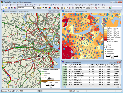
Trans CAD
Trans CAD is the first and only Geographic Information System (GIS)
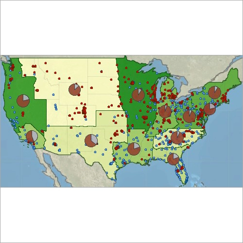
Maptitude GIS
Maptitude Geographic Information System (GIS) software
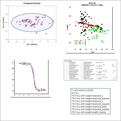
Sigmaplot Software
Sigmaplot Software
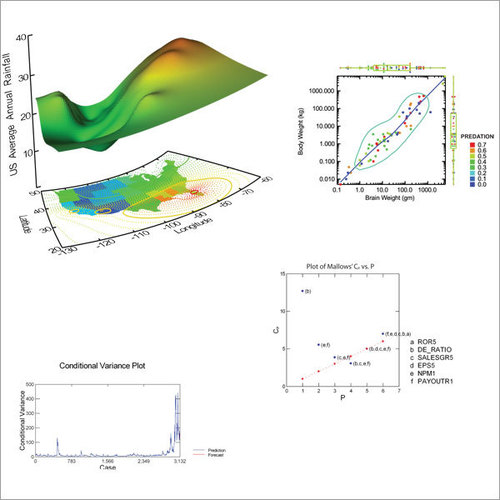
Systat Statistical Software
Systat Statistical Software
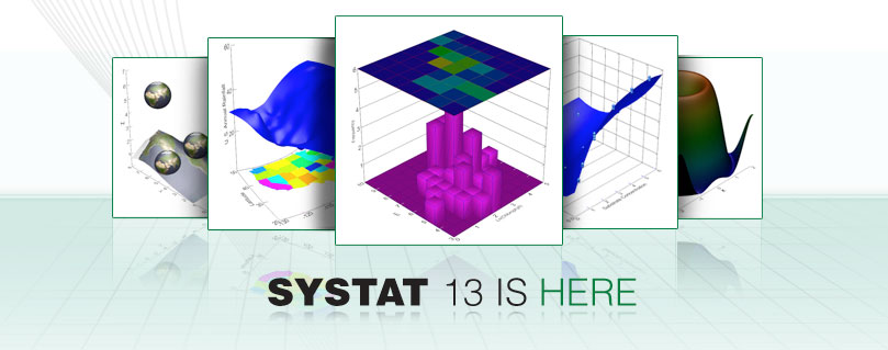
Systat 13 Software
Systat 13 Software
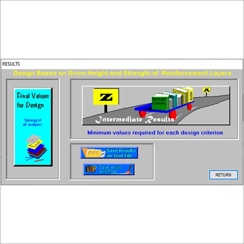
MSEW Software
MSEW+ is an interactive program for the design and analysis of mechanically stabilized earth walls.
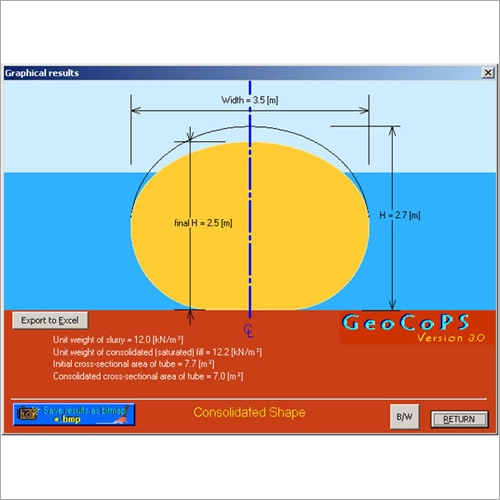
GeoCoPS Software
GeoCoPS is an interactive program for the design of geosynthetic tubes Output is presented graphically. The cross-section can be captured as a bitmap file. Most CAD programs can retrieve this file for further modifications. Most word-processors can also retrieve it for integration into a user-compiled report. Coordinates of cross-section can be exported to Excel.
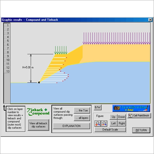
ReSlope Software
ReSlope is an interactive, design-oriented, program for geosynthetic-reinforced slopes.
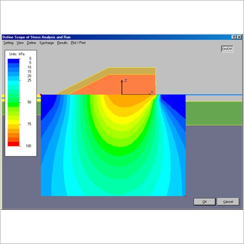
FoSSA Software
FoSSA (2.0) is an interactive program for assessing stresses and settlements under embankment and footings acting on horizontal ground surfaces.
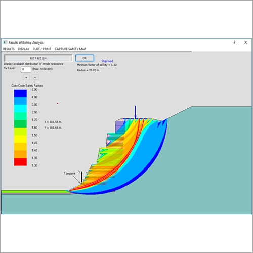
ReSSA Software
ReSSA+ is an interactive program used to assess the rotational and translational stability of reinforced slopes and walls.
0
Software Sold
0
Developers
0
Completed Deals
0
Happy Customers
Do You Need 2D/3D Architecture and Civil Engineering Software?
We develop & Trade all of the more popular brands.
Call Us at +91-9873257149 or you can mail to reach us
Call Us at +91-9873257149 or you can mail to reach us


